Underground Safe Control
Undergound Safe Control
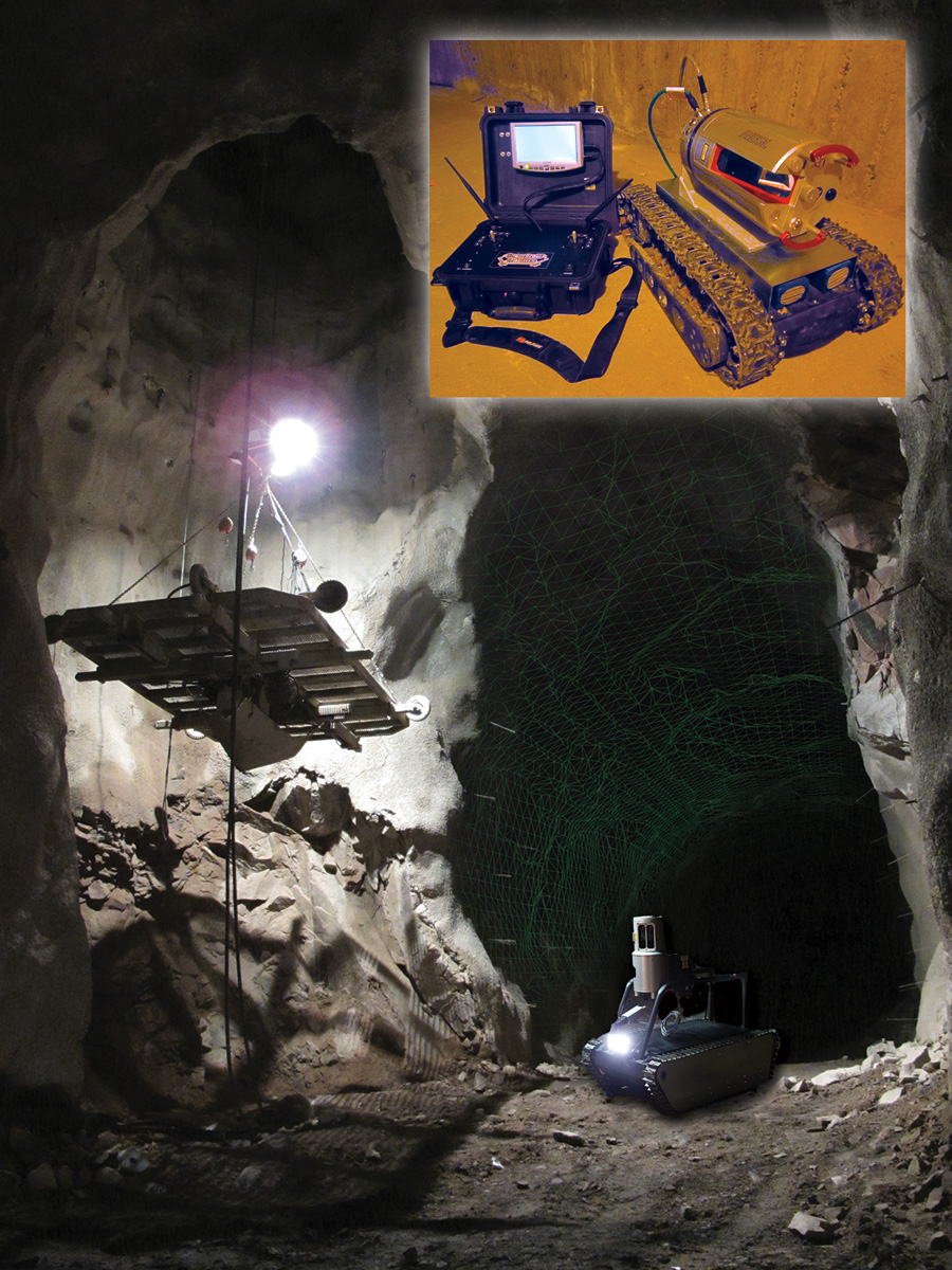
Ground-Based LiDAR Technology
for inspection, surveillance, mapping
and 3D modeling issue
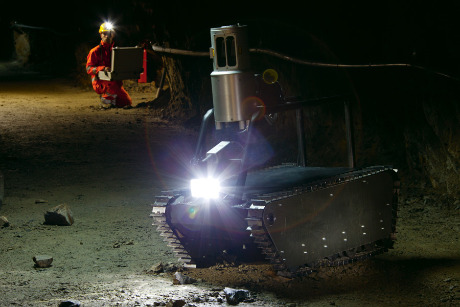
Undergound Safe Control
We map all inaccessible areas with millimeters accuracy and detailed information
Inspection & Safety:
- Visual information
- 3D Control (LiDAR)
- Deformation Control
- Dimensional changes and Formation of fractures and cracks
Tunnel Documentation
- Mine Maps
- Tunnel Profiles
- 3D Tunnel Models (csv, dxf, dwg, dgn, wrlm, obj, nwd, dm – Datamine, act)
Tunnel Quality Control
- Overbreaks & Underbreaks
- Volume Calculation
- Theoretical and Real Tunnel
- 3D Comparison
- Shotcrete Thickness Calculation
- Dimention Control (for equipment access ect.)
