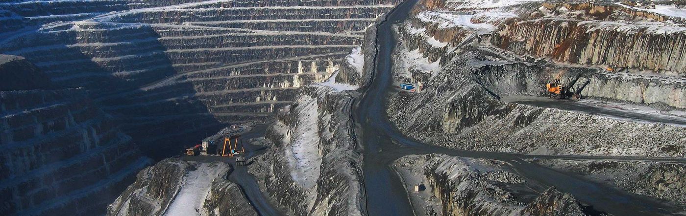
3D Open Pit Control
Control System delivers innovative solutions for open-pit operations to ensure safety, and optimize project efficiency and profitability.
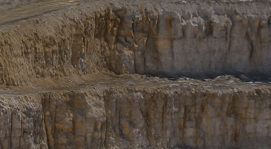
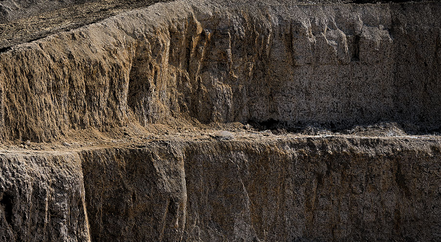
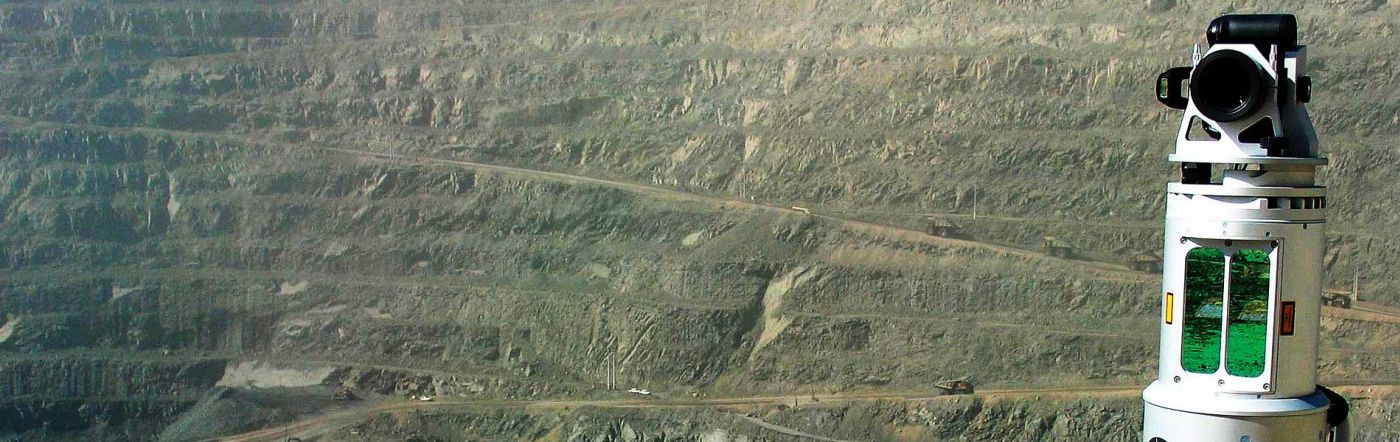
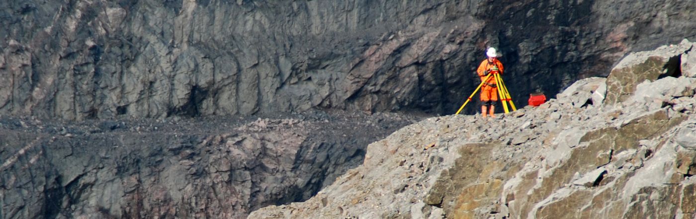
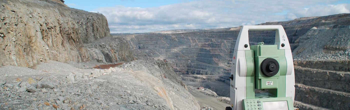
Using a combination of ground-based LiDAR and UAV photogrammetry to capture high-precision data at a fraction of the cost of traditional survey methods, Control System‘s team of highly-qualified and experienced surveyors, or the client's 3D scanning specialists, can map most open pit projects within a day or less at intervals required by the client.
The data captured can then be processed by Control System’s in-house team to provide the following deliverables via our user-friendly, intuitive Mine Report portal:
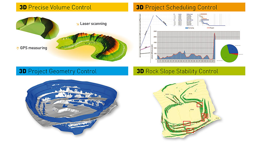
- High-Precision 3D Models of mine site
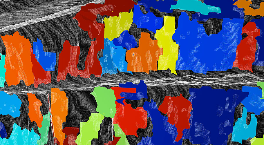
- High-Accuracy Volume Control of mined assets earthworks and tailing ponds
- 3D Project Geometry Control to ensure adherence to project plan
- Control for timely identification of structural weaknesses in rock slopes etc.
- 3D Project Scheduling Control for a comprehensive graphic and statistical overview of project progress