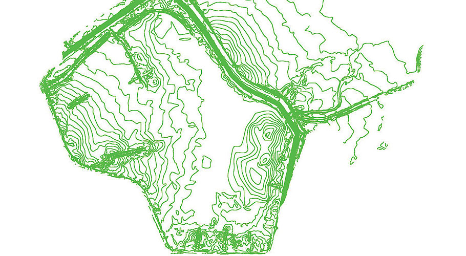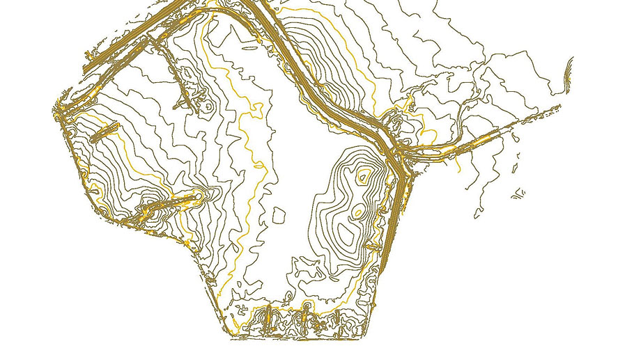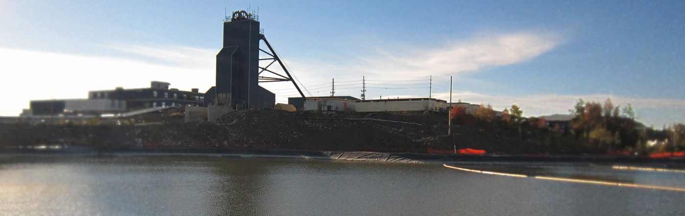
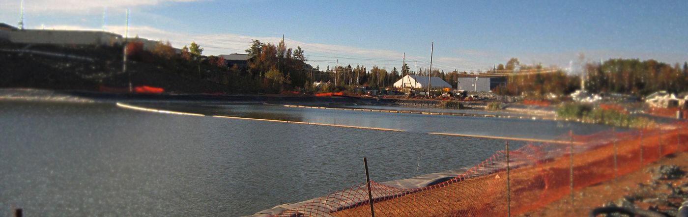
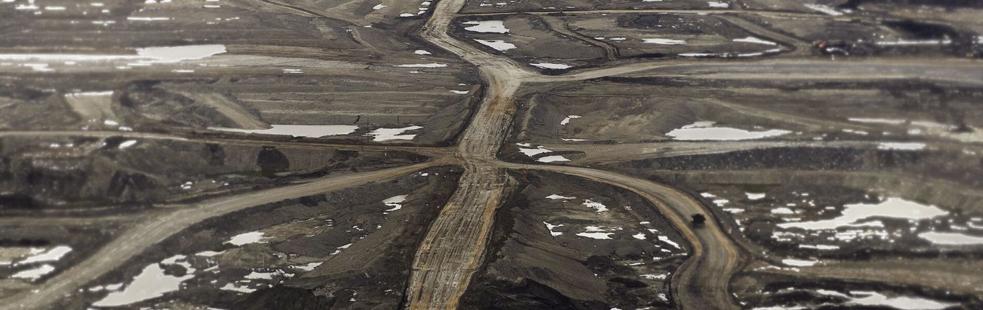
3D Tailing Pond Control
Using a combination of long-rage, terrestial 3D scanners and UAV photogrammetry, Control System's Tailing Pond Control solution is proven to provide accuracy of +/- 3 centimetres even for the largest ponds.
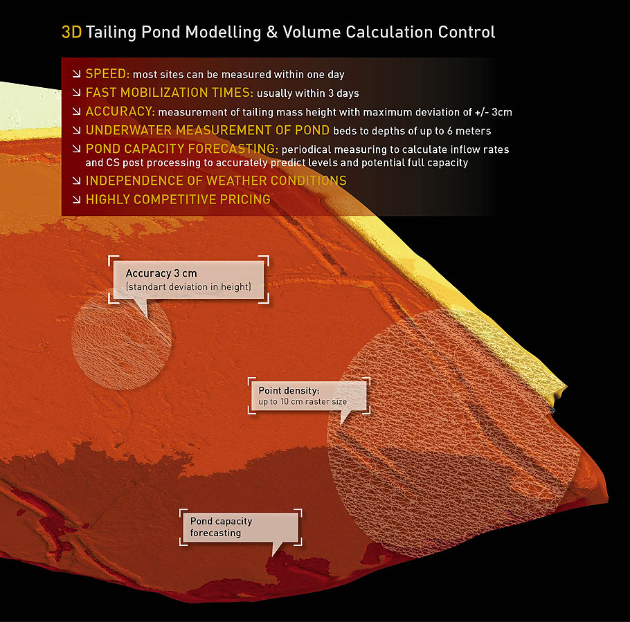
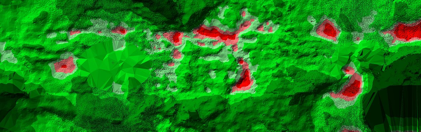
With from long-range laser scanners areas over 1 km away can be mapped with centimetre precision. With this data our in-house post-processing team produces high-density, high accuracy monitoring of potential subsidence zones and in-flow volumes etc. Our results are proven to be over 10 times more accurate than those produced from data captured by airborne LiDAR and at a fraction of the cost. Control System delivers monitoring results within as little as several hours.