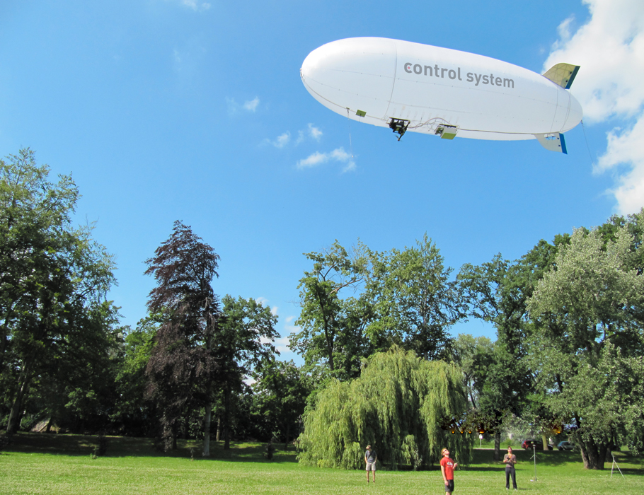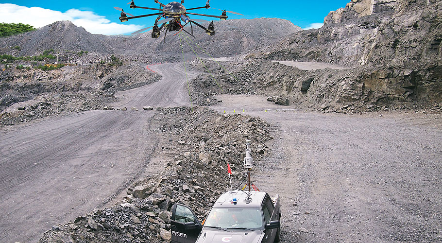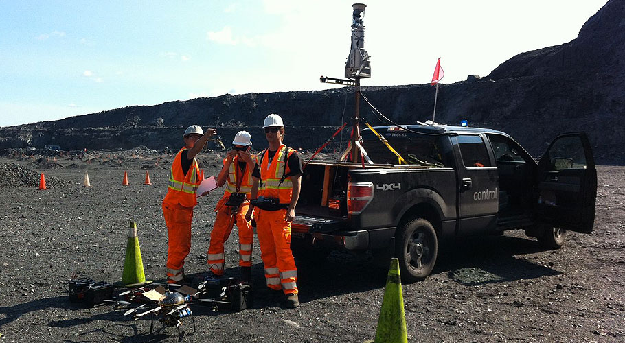
UAV Photogrammetry
We map all inaccessible areas – with higher resolution.
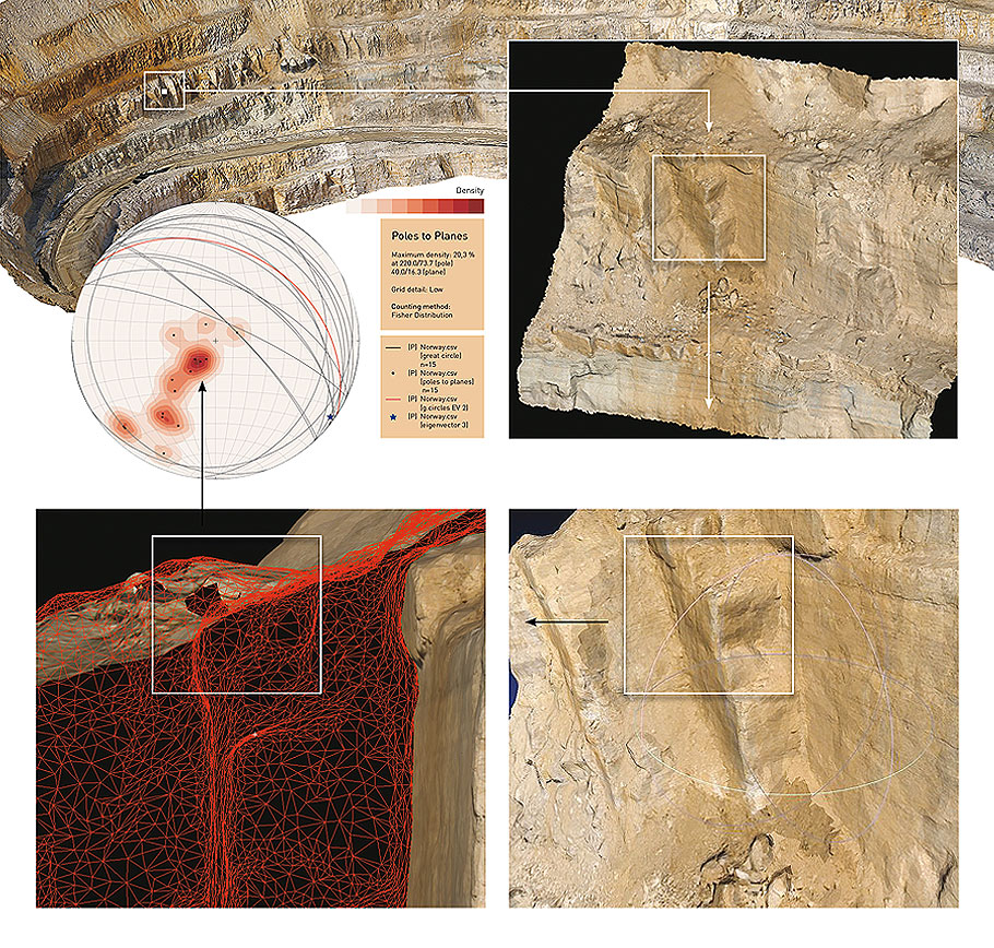
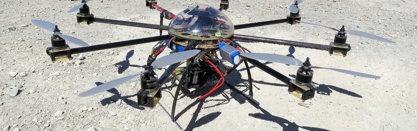
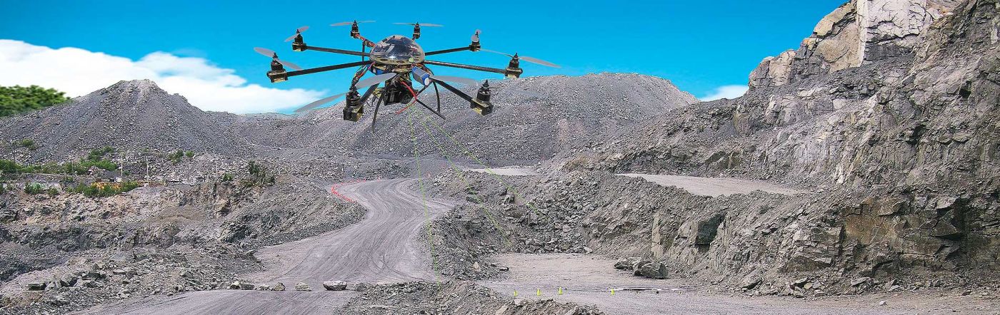
Control System has developed a ground-breaking solution for rock mass structure mapping, which combines the benefits of both UAV photogrammetry and ground-based LiDAR to deliver dependable higher resolution results, faster and considerably cheaper than traditional survey methods. UAV photogrammetry provides high-precision data from areas such as rock slopes and overhangs etc., which due to inaccessibility cannot be mapped in such detail with ground-based LiDAR. UAV photogrammetry also complements the geometric precision of data from LiDAR scanning by providing image data from optimal survey points above the ground.
- Map all inaccessible areas of your open pit mine
- High -density texture mapping with up to 1 millimetre resolution
- Rapid deployment and scanning
- Multiple UAVs for faster mapping of large sites
- Post Processing results deliverable within up to 24 hours(depending on size of area mapped)
- Textured mine models delivered in Wavefront.obj, and. vrml.(ADAM Technologies ready).